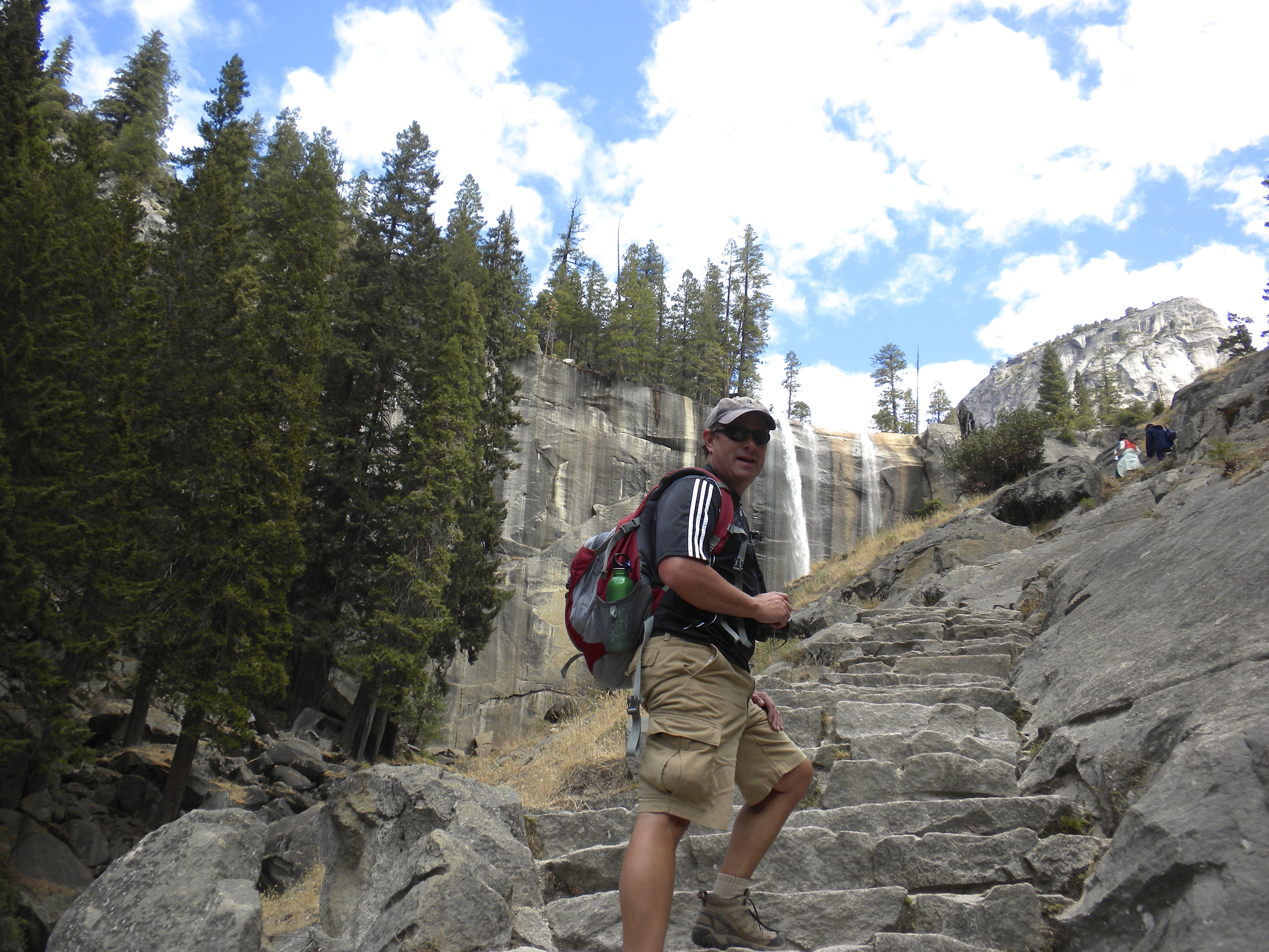
Well, we have been busy the last week or so, sorry it has been quiet on the blog front. This post may be a bit long as there is lots to catch up on! Hard to believe we are already into July and are 6 weeks into our trip! Our first stop was Ouray, CO where we spent a nice quiet three days in the Ouray RV Park. Ouray is likened to the Swiss Alps, a very small mountain town that has a rich mining history in the area. There are lots of little shops and restaurants to visit, and a ton of people using this as their launching point to the wilderness areas around the town. This is the starting point from which many people take off-road trips in Jeeps and other vehicles into the backcountry for several days.

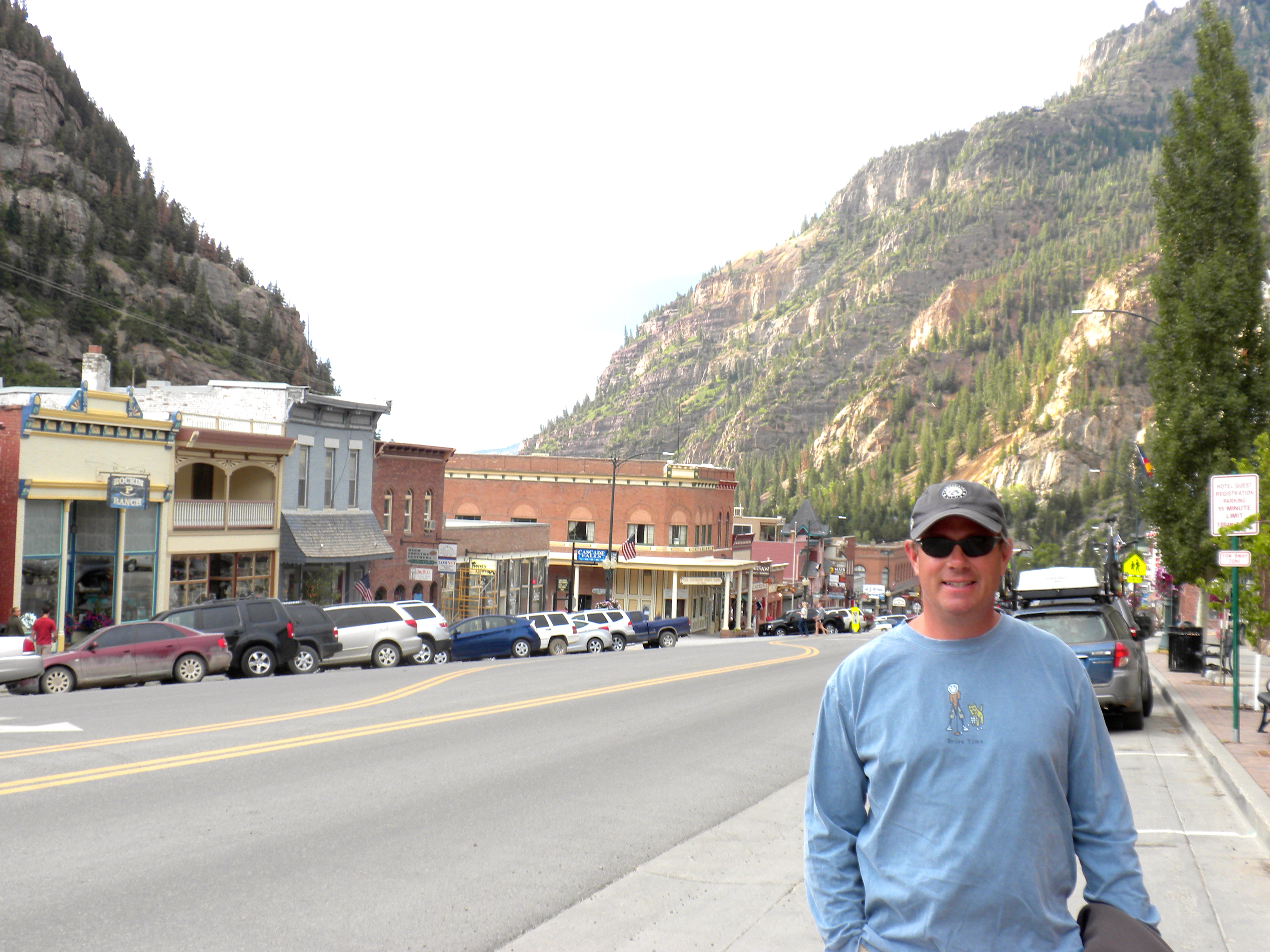
The quaint town of Ouray
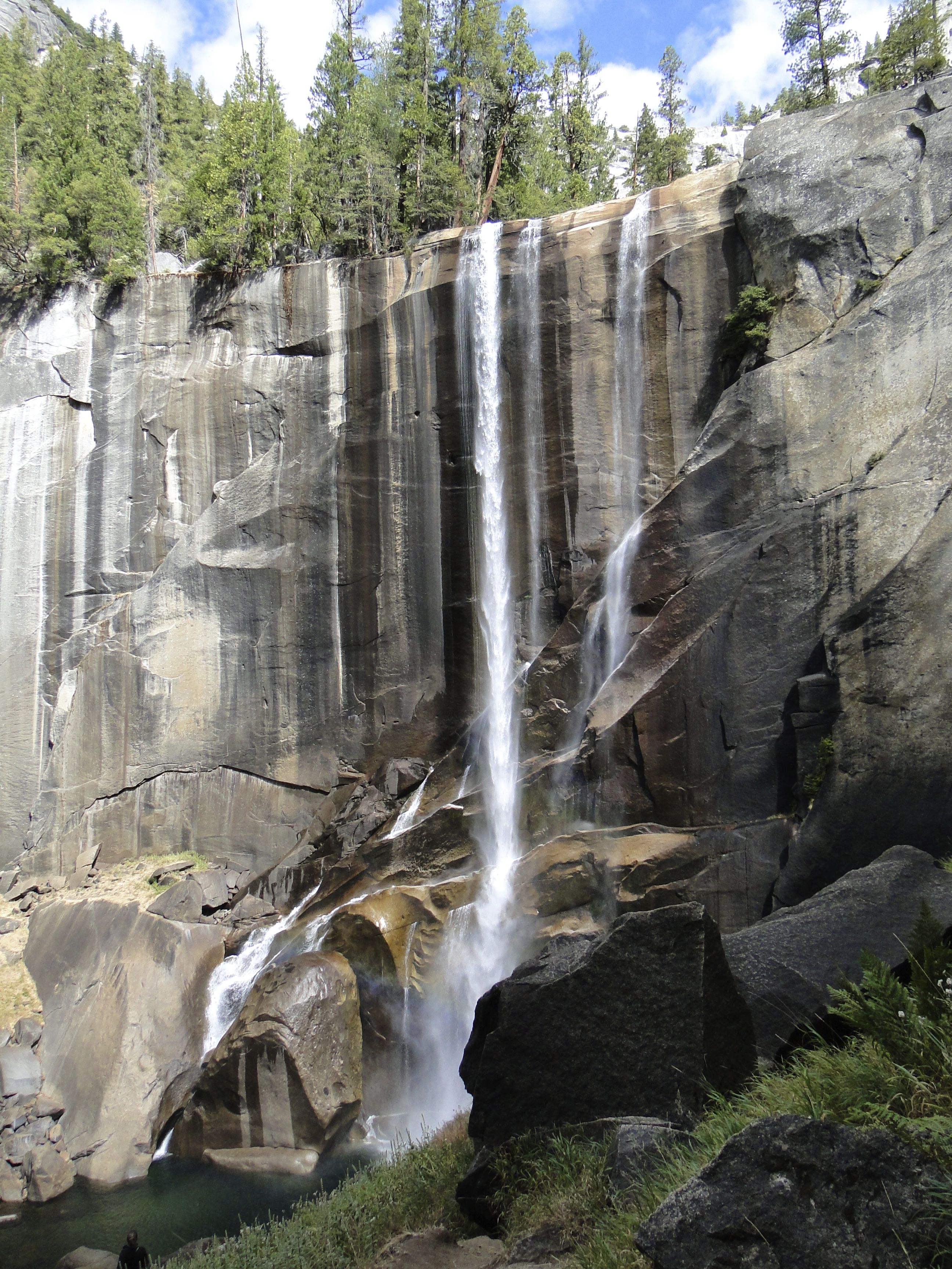
On our first day, we headed over the pass to the south of Ouray to the mining town of Silverton. Just outside of town, we missed a pullout to see a nice waterfall, so I pulled over about 200 yards further up the highway. We jumped out to see if we could see the falls from that point, and somehow I/we locked the keys in the car – while it was running! Long story short, we got back in the car 3 hours later with a coat hanger and pry-bar from the county Sheriff – glad it was only 75 degrees out that day. Silverton was just what you would expect from a mining town of 100+ years ago – 6 to 8 streets, mostly gravel, a few shops on the main drag, most of which are full of tourist goodies, and a few restaurants. We ate lunch at Grumpy’s – fitting after the car episode!
The next day we decided to finally get out the golf clubs – 5 weeks on the road and no golf yet – why?! We went back up the road about 25 minutes to Ridgway to the Divide Ranch & Club (it is not worthy of a link). This was one of the worst maintained courses in the history of the golfing world. I know most of the area is in a bit of a drought, but it looked as if there had not been a drop of water put on the course. Really sad because this place had amazing views of the Rocky Mountains and a lot of potential for a great resort type setting. The only water on the course was used for the greens and tee boxes – really good thing we were in the right mindset – otherwise I would have probably gone back and asked for a refund!

This is the fairway!
The next day we were off to Salida. We stopped in Gunnison to have a quick visit with Traci’s brother’s former sister-in-law Jenny. Met for a smoothie and visited for about an hour, great to see her! Gunnison is a very cool spot. We decided to skip Salida, and just go on to Manitou Springs. Long drive, but Salida was just going to be an overnight spot to break up the trip, so we pushed through and got to the Pikes Peak RV Park about 7pm. Nice people, great locations and really well run. We went the mile into town, and found a nice little Mexican place, the Loop Mexican Restaurant (great Marg’s and Tequila selection). We noticed when we were walking through town, lots of sand bags outside many of shops. Apparently they had some massive fires last year, and when it rains hard, the town gets over-run with flash floods because the vegetation is so devastated it can’t hold the water. Cute town, wish we could have spent more time here!
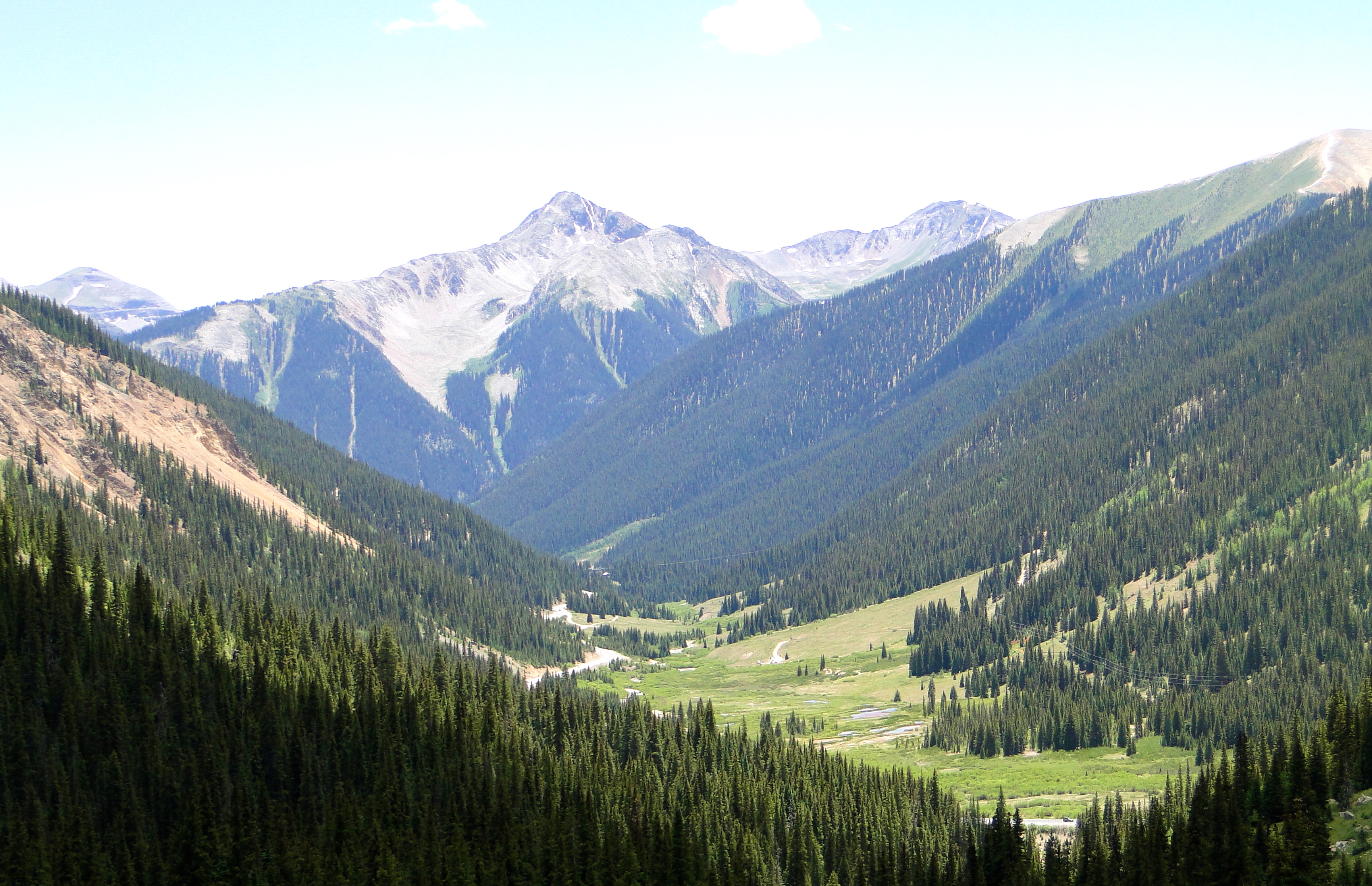
The next day, we ran some errands, and then decided to drive up Pikes Peak, “America’s Mountain.” For those who are not familiar, it is one of the highest places in the continental US that you can visit via car and where the song America the Beautiful was written after. Just so happens that we were there on a Friday, and they were setting up for the Pikes Peak Hill Climb; a road rally race for speed. Each participant tries to drive as fast as they can to the top. (The road is about 18 miles long, but the race is only the last 6 miles or so). We paid our $12 to enter and started up. One of the first signs we saw was that they recommend at least a ½ tank of gas – we start up with just above 1/3. (Yes, we were staring at the gas gauge all the way up, but it all worked out fine). This drive is not for the faint of heart – or heart condition, or small child, or any other health issues. Climbing to an elevation of 14,110, you are really high up and it gets challenging to breathe. I felt it! We stayed for about 30 minutes and it was time to get back down. On the way down, there were signs everywhere that drivers need to go down in first gear. I went down in second, in an automatic transmission, weird to do. There is a ranger station about 1/3 of the way down to check the temperature of your brakes. We registered 399 degrees! If you are under 300 degrees you are fine. Otherwise, like us, you are asked to pull over for 15 minutes to cool the brakes. We did as asked, and then proceeded down and all was good. An amazing drive, and it was cool to see the road set up for a race. Lots of hay bales, and all the signage for the race was in place. The race is the second longest continuous race in the USA, at 91 years running. We did not get to see it in person, but learned that the guy who won this year averaged over 87 MPH! We did most of the course portion at 25-30 MPH, and that was scary enough.

At the top of Pike’s Peak
On Saturday, we headed out to the Olympic Training Center in Colorado Springs. We took the free tour, and I was very disappointed with the quality of the facility. It felt like we were in a high school gymnasium; I expected to see much better facilities for the athletes to train at. We ended the day in Castle Rock to visit Traci’s sorority sister, Lori Johnson and her family – Bill and daughters Taylor and Abby and dog Sonny, for dinner at their home. We pulled up and the girls had a welcome message in the driveway for us in chalk; the whole driveway was one huge message – very sweet! Dinner, visiting, wine, and we decided to spend the night. Next morning we all went out for a nice breakfast, then headed to Denver for some sightseeing. We checked out Red Rocks, a very cool amphitheater for concerts, which I’m sure rivals the Gorge in Washington. We got a tip from a former co-worker of Traci’s (thanks Joe!) to try out his cousin’s brewery in Denver, Wits End Brewery. We had a few samples, I bought a growler and then headed back to the MoHo in Manitou Springs.

The Johnson’s – Bill, Lori, Taylor, Abby and Sonny
The next day we headed up to Vail to meet up with an another college friend of Traci’s, Ron Webert and his wife Stacy and son Tyler at their mountain home. The drive crossed back over the continental divide, up to some passes over 10,000 feet and back down. While on the drive, we got a text message from Traci’s friend Lori whom we were just with in Castle Rock that there was a severe thunderstorm in the Manitou Springs area and the fire and police were evacuating the Pikes Peak RV Park. We had just left there about 8 hours prior – fortunately it was not significant damage to the park, but Manitou Springs got hit hard – lucky we left when we did.
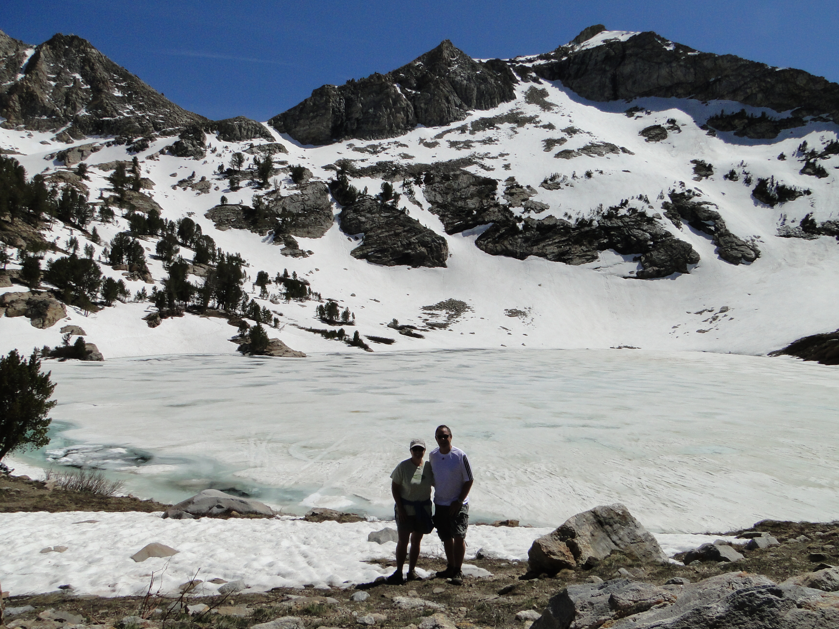
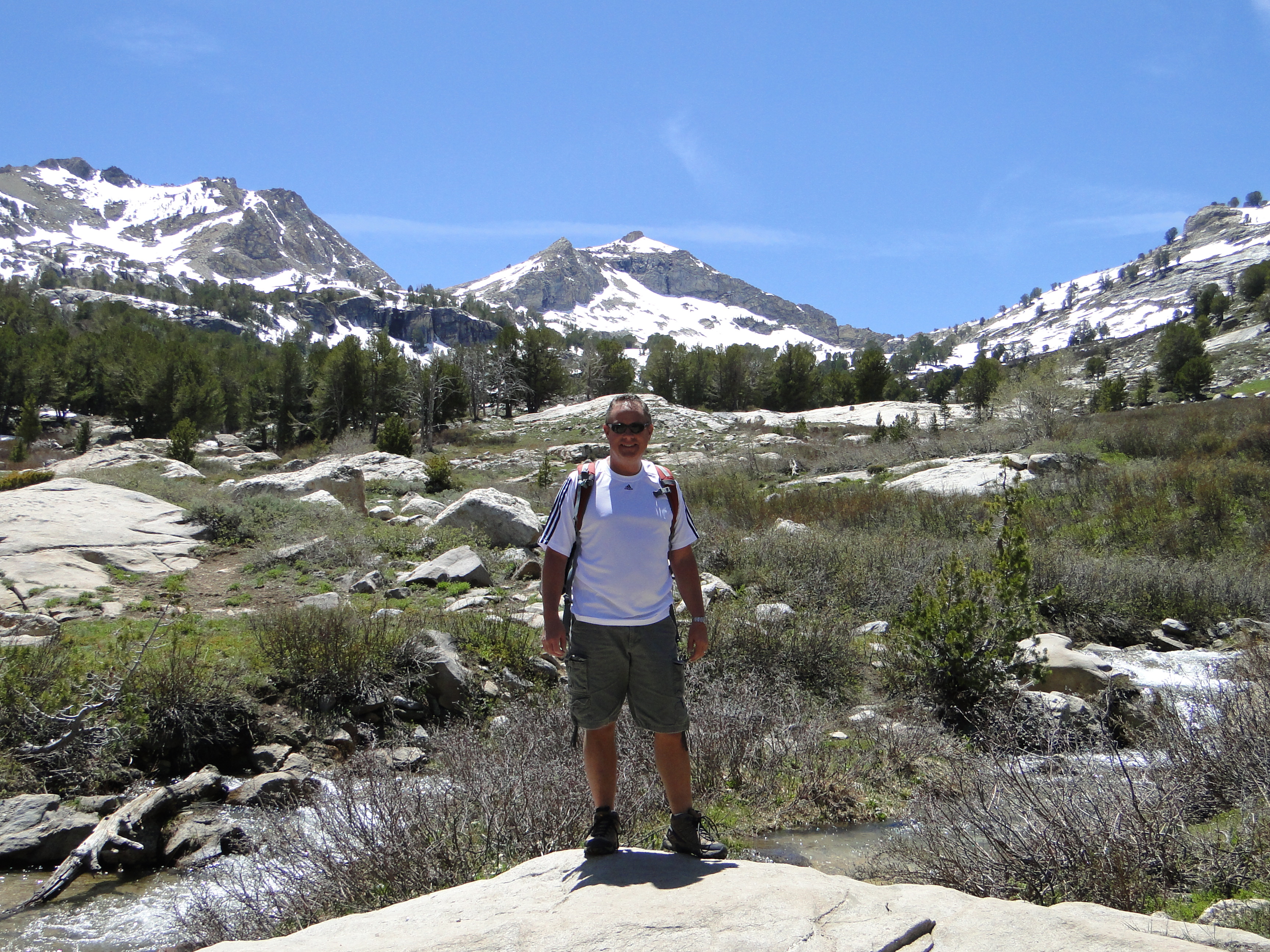
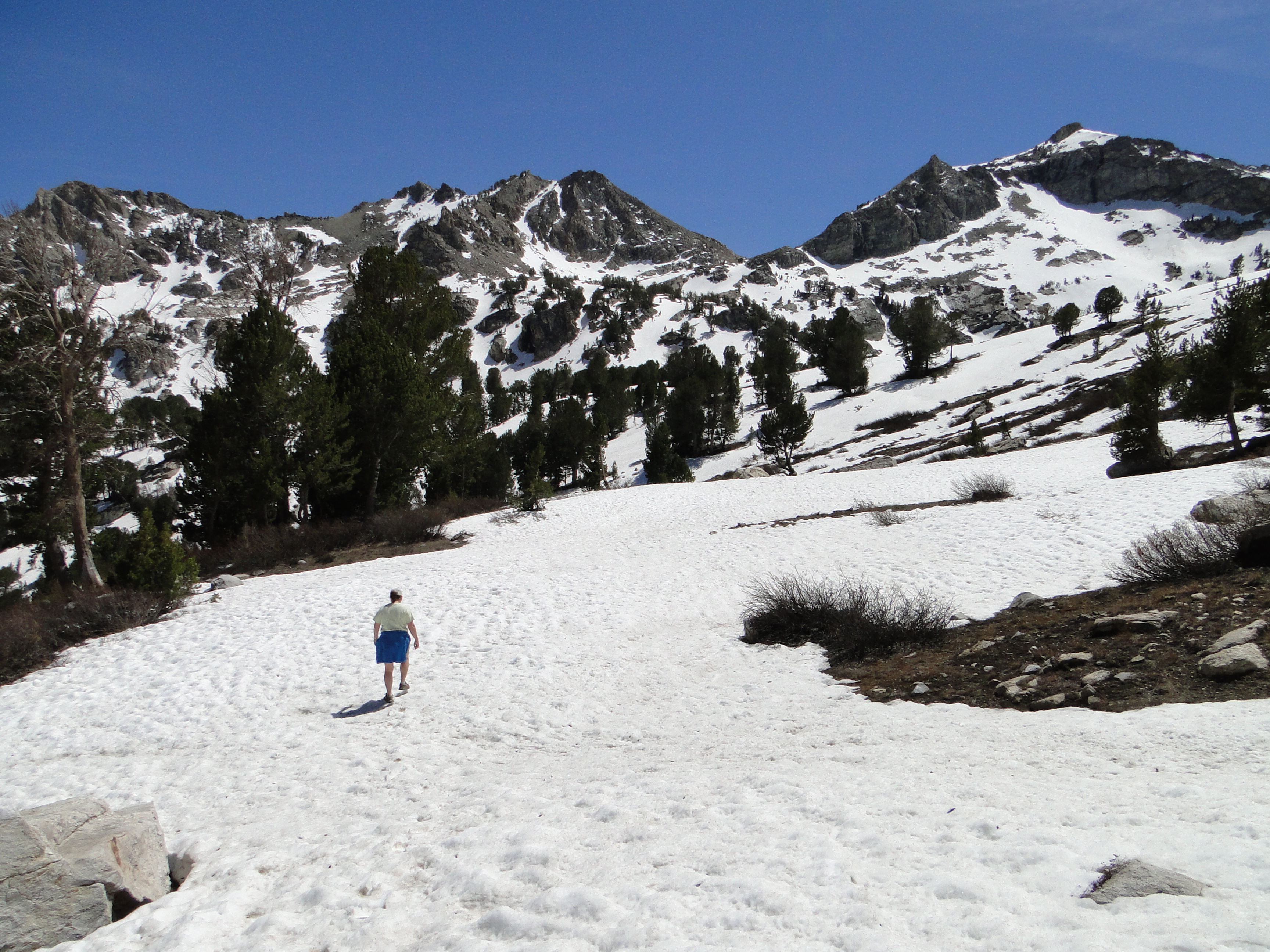
While in Vail, we “boondocked” in Ron & Stacy’s driveway, as we could not find any openings in nearby RV Parks. This worked out perfectly and they certainly treated us right at the Webert B&B! They took us on a ‘little’ hike from the Beaver Creek ski area near their place. We started at about 8,200 feet and hiked up to 9,800 feet to Beaver Lake where enjoyed a couple of cold ones when we finally made it up. That hike was a bit tougher than we expected; 1,700 feet up and back down and 7 miles; our bodies felt it the next day for sure. Had a nice dinner that night in the Vail village, and a nightcap (or two or three…) at the Red Lion (not the hotel chain) listening to some great old tunes played by the local guy, Phil. Long night, but great fun.

Hike to Beaver Lake with Ron and Stacy
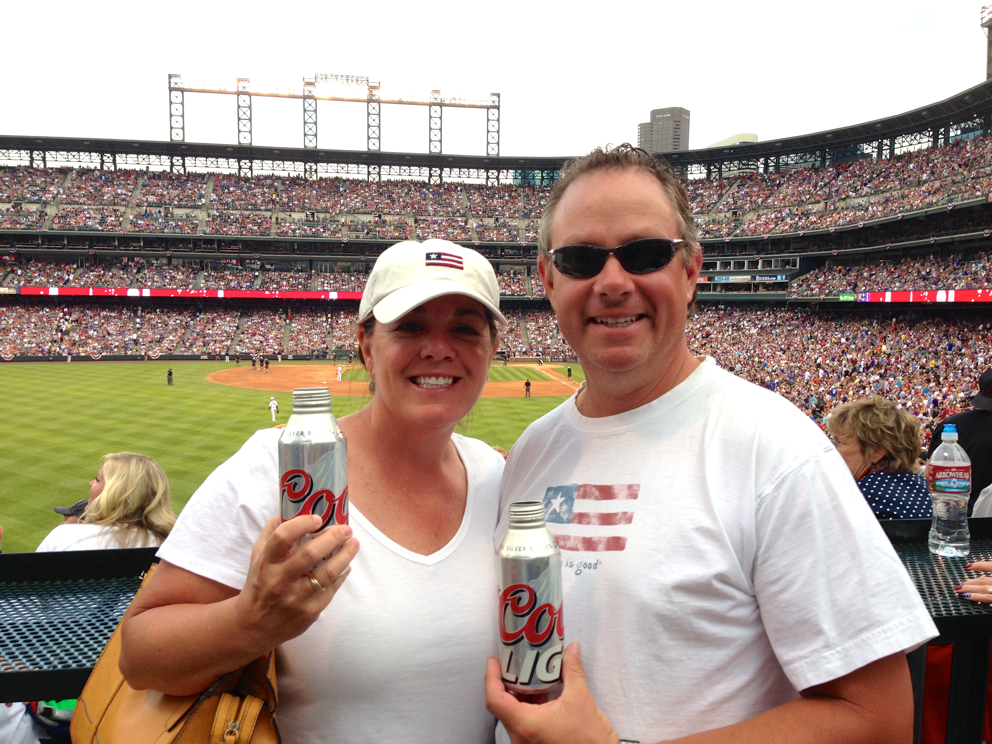
We left Vail the next morning and headed to Broomfield to visit another friend of Traci’s who she used to work with at Holland America – Jen and her husband Rod and their kids, Jordan & Bella. Again, we were fortunate to park in front of their house since we weren’t able to find a place to stay. Apparently 4th of July is quite a busy week! We had a great BBQ dinner at their house and had fun catching up. They took us to their local neighborhood fireworks celebration that night and it was pretty impressive! The next day was 4th of July. We golfed with Rod & Jen that morning, then headed into Denver for the Rockies game at Coors Field. My friend Matt who works for the Mariners scored us some great tickets behind home plate. It was a perfect night for a ball game, the Rockies won and the night ended with a killer fireworks show right in the stadium!

Rockies game at Coors Field
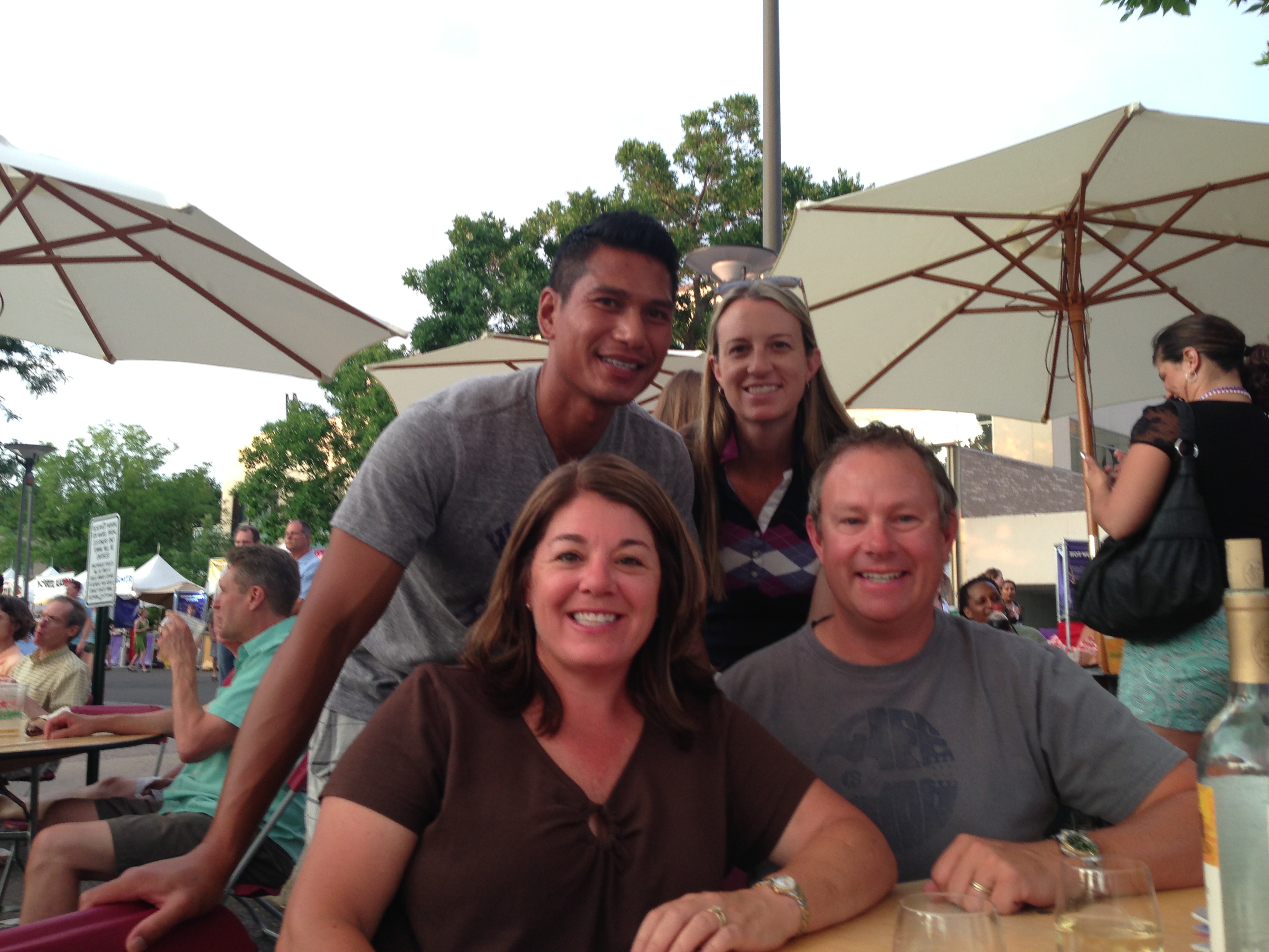
The next day we headed into Boulder for the day. A very cool, hip town with lots of character and full of restaurants and breweries. Had a great day then went with Rod, Jen & Bella to an Art Festival in the Cherry Creek area of Denver. Apparently the richest zip code in Colorado. Ate some good food, drank some wine, listened to some music and soaked it all in! A very fun last night with friends.

Cherry Creek Art Festival with Rod & Jen
Today, we head north to Estes Park which is kind of the gateway to Rocky Mountain National Park. It has been a great past 10 days catching up with old friends, especially for Traci. It has been nice to have some interaction with people who know us other than small talk with fellow campers or just talking to each other. So far, Colorado has been a definite highlight. We really wish we had more time here especially in the Denver area. We didn’t make it to Golden to the Coors Brewery or to a concert at Red Rocks, which we would have liked to have done – next time!